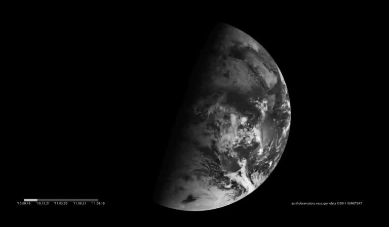
秋分那天的地球
2021年9月22日 Equinox on a Spinning Earth Image Credit: Meteosat 9, NASA, earthobservatory, Robert Simmon Explanation: When does…

Acquired by the Landsat 7 satellite more than 20 years ago on Sept. 3, 2000, this image is of Greenland’s western coast…
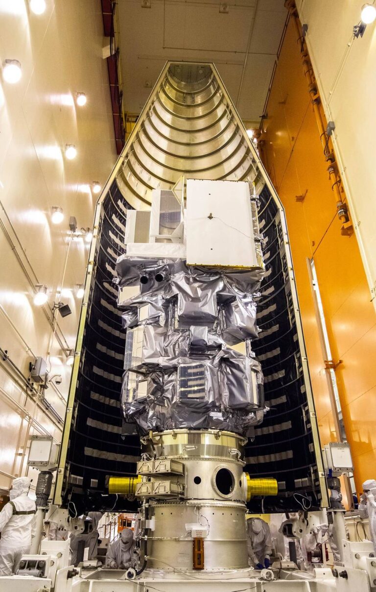
Inside the Integrated Processing Facility at Vandenberg Space Force Base in California, the Landsat 9 spacecraft is moved int…


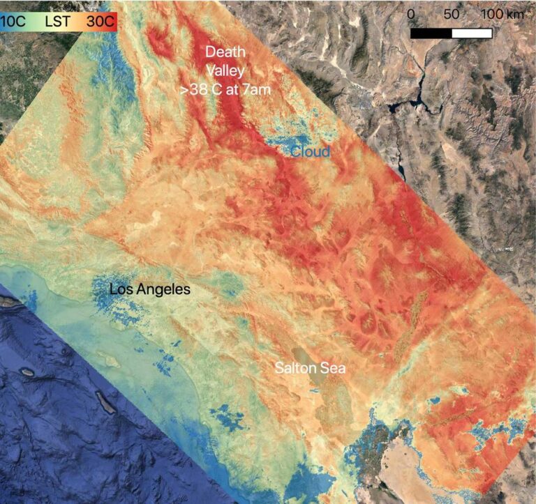
2021年7月1日至7月12日,美国西南部遭遇前所未有的热浪,NASA Aqua卫星上搭载的AIRS仪器收集了大气和地表的温度读数。 视频来源:NASA/JPL-Caltech 一台科学仪器绘制了 7月初笼罩在美国西南部上空的高压穹顶,而另一台则记录…
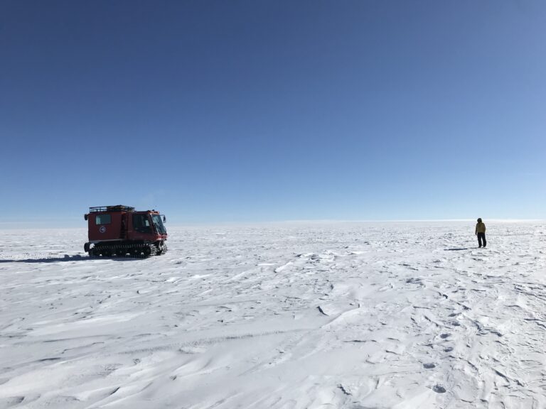
从天空上看,南极洲冰盖可能看起来像一个平静的、永久的冰毯,已经覆盖南极洲数百万年了。但是,冰盖最厚时可达数千米深,在其底部与大陆基岩相接处隐藏着数百个融水湖。在地表深处,一些湖泊通过水道系统不断充盈和排水,最终排入海洋。 现在,有了NASA在太空中使…