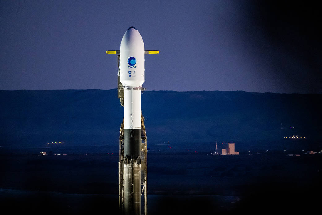
The Surface Water and Ocean Topography (SWOT) spacecraft is seen in this early morning photo from Dec. 14, 2022, as preparations for launch continued. SWOT, the first satellite mission that will observe nearly all water on Earth’s surface, launched on Dec. 16. Jointly developed by NASA and Centre National D’Études Spatiales, with contributions from the Canadian Space Agency and United Kingdom Space Agency, the satellite will measure the height of water in the planet’s lakes, rivers, reservoirs, and oceans.
This photo was chosen by the NASA Headquarters photographers as one of the best images from 2022. See the rest on Flickr.
Image Credit: NASA/Keegan Barber
在这张2022年12月14日清晨的照片中,可以看到地表水和海洋地形(SWOT)航天器,发射准备工作仍在继续。SWOT卫星于12月16日发射,是首个将观测地球表面几乎所有水的卫星任务。这颗卫星由NASA和国家空间中心联合开发,加拿大航天局和英国航天局提供资助。该卫星将测量地球湖泊、河流、水库和海洋中的水位。
这张照片被NASA总部的摄影师选为2022年最佳照片之一。在Flickr上查看其余内容。
影像来源:NASA/Keegan Barber

